Kenya has been chosen to host a technology hub for young people in Africa. The project, which is a partnership of 20 African countries, is aimed at providing a geographic data platform for innovative youth to realise their potential.
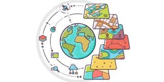
The platform dubbed GeoHub is spearheaded by Regional Centre for Mapping of Resources for Development (RCMRD). It will enable the youth to connect themselves to all opportunities available from geospatial technologies, to develop products that serve member states in businesses or entrepreneurial arrangements and spur growth.
RCMRD, is a 20-member state organisation with operations in Sudan, Ethiopia, Kenya, Malawi, Tanzania, Uganda and South Africa among other Eastern and Southern African countries.
Emmanuel Nkurunziza, the Director General of RCMRD, said GeoHub will provide an opportunity for the youth to tap into latest technologies to meet challenges that the society faces.
“We are aware that data is going to be very critical. We are aware that internet of things is providing opportunities unheard of. We are aware Machine Learning and artificial intelligence are going to be the critical things if we will be able to manage what we have been doing mechanically with human brains,” said Dr Nkurunziza.
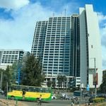
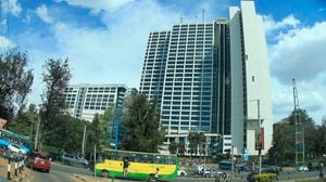
David Ongo, a GIS analyst at RCMRD, said the GeoHub is at its earliest stages and will be based in Kenya.
The plan was revealed during During this year’s Geographic Information System (GIS) celebrations at the Regional Centre for Mapping of Resources for Development (RCMRD), where young people were advised to utilise geospatial technologies to develop solutions for the most pressing problems in the society.
While recognising the power of geospatial data and technologies, experts at the forum called on young people to seize opportunities presented by the technology which has advanced over the decades.
“There are opportunities that five years ago were not there. One is able to capture accurate data in centimeter and millimeter resolution within minimum effort currently,” said Dr Emmanuel Nkurunziza, the Director General of RCMRD on Wednesday.
He said advanced technology has enabled the processing and storing of huge volumes of data in cloud, or elsewhere, without many challenges, which was almost impossible few years ago.
With high internet speeds due to the optical fibre network, one is also able to move data from one place to another without much ado.
“You can deploy all these computing capacities, connectivity and ready access to high resolution satellite imagery at very affordable prices.
“Now, the challenge is for you to make sure that this data that we are getting is harnessed to develop applications and services that are relevant to our societies,” he said.
“We have set all the administrative structures ready, we had planned to roll out our activities this year but Covid-19 happened,” he said.
According to Mr Ongo, one of the courses which will be taught at the hub will be the GeoAI — a combination of GIS and artificial intelligence). He said GIS has become quite popular with “a lot of industry players now embracing the technologies including UBER, GLOVO, TESLA-the self-driving cars, not to mention spatial planning, and many others,” he said.
Currently, almost all universities have integrated GIS is their curriculum, he said.
According to Dr Nkurunziza, the more young people prepare themselves to be part of the fourth industrial revolution, the better for them. He said RCMRD will launch the regional resource hub next week. The resource hub is an incubation, innovation and mentorship space.
It will store and disseminate data on various issues in 24 countries in the Africa.
“People with creative ideas will be able actualize them under the guidance of the professionals,” said Mr Ongo.
RCMRD was formed 45 years ago to undertake surveying, mapping and remote sensing for member states within the Eastern and Southern Africa region.
“It supports member states to harnessing the power of earth observation and geospatial information in managing natural resources and other areas where we need decision-making,” said Dr Nkurunziza, adding that counties can send requests for collaboration on various issues affecting them.
Some of the geospatial data that can be obtained from center include information on disasters, pandemics and emergencies.
Unlock a world of exclusive content today!Unlock a world of exclusive content today!